
PRE-BUILD TELECOM SOLUTIONS SPECIALISTS
We Deliver Professional Surveys Offering The Insight, Precision, And Expertise Your Fibre Builds Need To Succeed From Planning Through To Delivery.
Supporting Contractors And Network Providers Nationwide

Surveyed With Precision. Validated With TRR. Built For Reliability.


PRE-BUILD PREPARATION DONE RIGHT
Accurate, Reliable Telecom Surveys For Every Fibre Build Project
Accurate Data. Reliable Reporting. Build-ready Results.

-
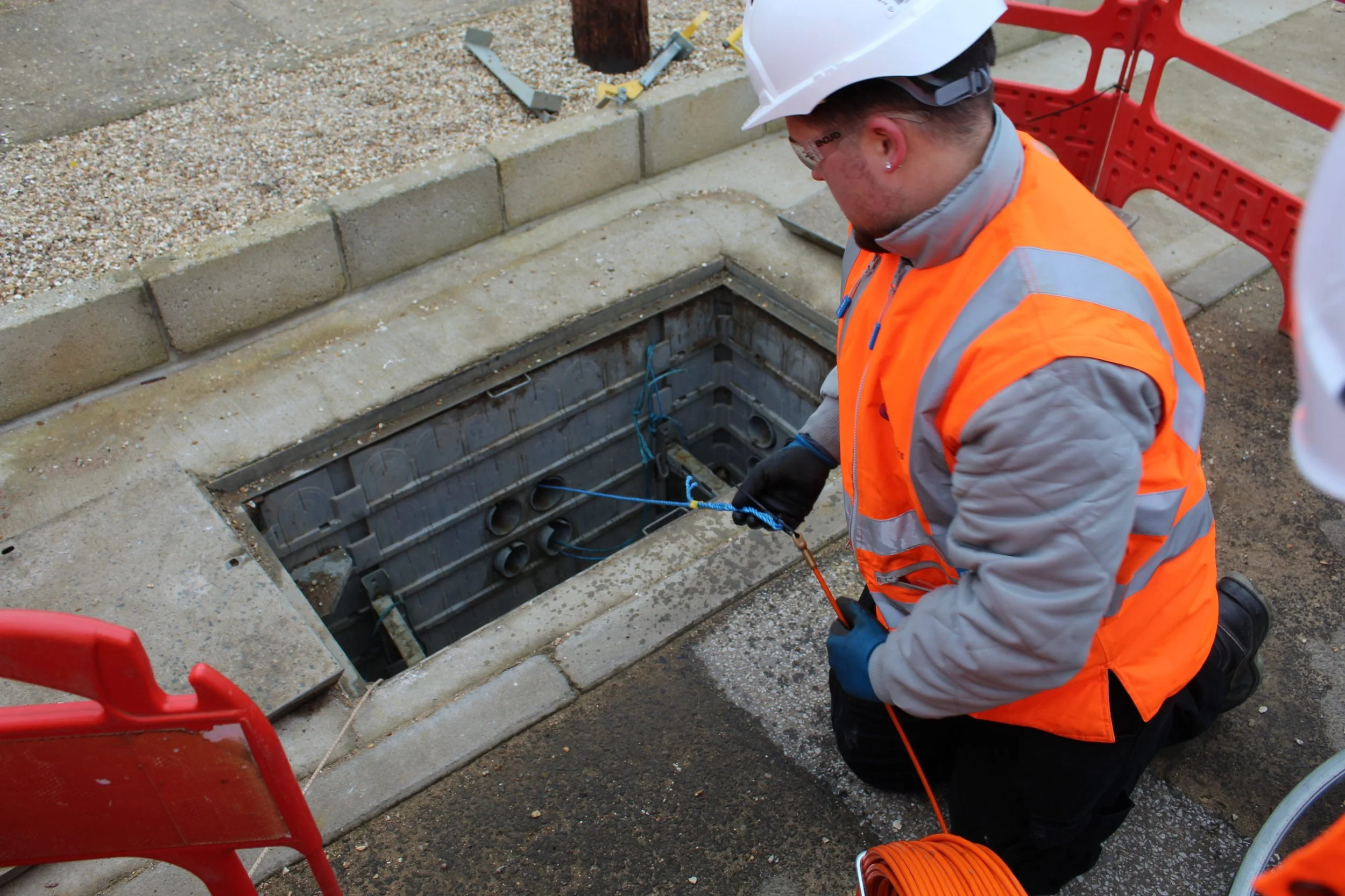
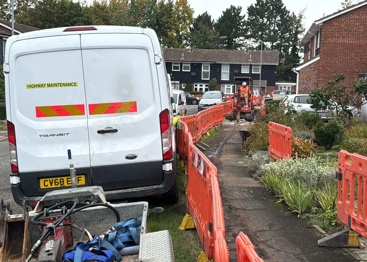
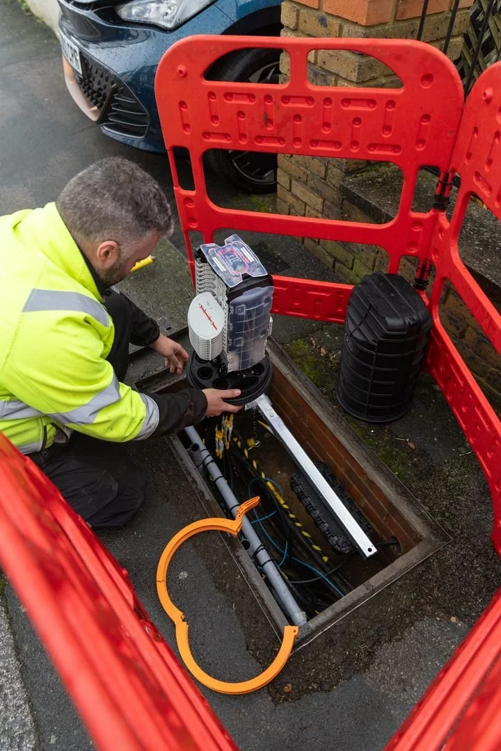
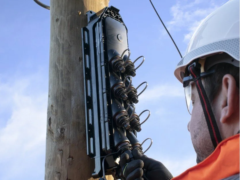
Every successful telecoms project begins with a thorough, accurate survey. Get this stage right, and everything that follows — from TRR (Test, Rod & Rope) to the final build — runs smoother, faster, and with fewer surprises.
Our specialist telecoms surveyors provide the critical groundwork for successful network deployment. We carry out detailed site surveys to assess infrastructure requirements, identify optimal routes, and ensure compliance with industry standards and regulations.
We evaluate environmental factors, measure distances, check accessibility, and flag potential challenges before work begins. This early insight helps reduce risks, prevent delays, and control costs.
With precise data and clear, actionable plans, we set your project on the right foundation — ensuring a smoother TRR process, a more efficient build, and a network that’s built to last.
-
What it is:
ORION is the digital platform used by Openreach and approved surveyors to plan and record fibre-network surveys accurately and efficiently.Why it matters:
Captures real-world survey data on-site, so designs are precise and build-ready.
Ensures all survey work follows industry standards and best practices.
Speeds up the design and build process by keeping all information in one digital system.
What we use it for:
Mapping fibre routes, ducts, poles, and chambers accurately.
Creating reliable, build-ready survey and design plans for fibre-network installations.
Streamlining communication between survey, design, and construction teams.
-
What it is:
ArcGIS is a powerful Geographic Information System (GIS) platform used for mapping, planning, and managing telecom networks. It helps surveyors and engineers visualize, analyse, and design fibre-network infrastructure with precision.Why it matters:
Enables accurate mapping of ducts, poles, chambers, and fibre routes for build-ready surveys.
Helps ensure all survey data is compliant with industry standards and regulatory requirements.
Streamlines project planning by providing a digital view of network infrastructure and enabling better coordination between survey, design, and construction teams.
What we use it for:
Creating detailed, accurate maps of existing and proposed telecom infrastructure.
Planning routes for new fibre networks and optimising survey workflows.
Maintaining a centralised, digital record of survey and network data to improve project efficiency and reliability.
Contact Us
Interested in working together? Fill out some info and we will be in touch shortly. We can’t wait to hear from you!